 Portions of the following information were taken from Florida Geological Survey Bulletin 31.
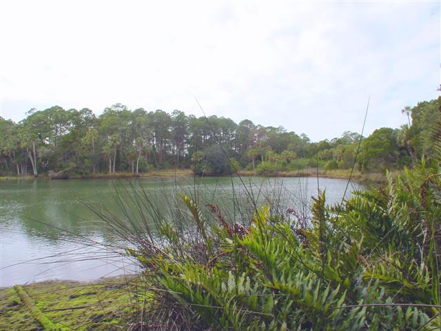
Mud Spring has also been known as Sulfur Spring and Mud River Spring. The spring is at the
head of Mud River, about 400 ft S. of State Hwy 50, 1.3 mi E. of Bayport, and 3,000 ft W. of the
intersection of State Hwys 50 and 595.
Description - The head pool of Mud River is about 400 ft in diameter with a 200-ft wide run
flowing from the east side. The spring is near the southwest side of the pool about 15 ft E. of a
dock. The spring basin is elongate in a north-south direction and slopes irregularly down on the
north, east, and south sides. The west side is essentially vertical to a depth of 185 ft
(Sinclair, 1977, Table 2). Divers report a horizontal westward 3 mi per hour current at a
depth of 50 ft. The bottom is obscured by a brown flaky material, probably algal, that gives the
river and spring the name "Mud." Tidally affected, Mud Spring discharge has been measured at
128 ft3/s on January 18, 1961; and at 101 ft3/s and 83.1 ft3/s on a changing tide on
December ll, 1975. The chloride content, based on a specific conductance of 23,000 micromhos/cm,
was 8,000 mg/L at a depth of 58 ft, and the temperature was 20.5°C. (69°F.) on December 16, 1960.
Mud Spring is a fishing and boat launching site.


